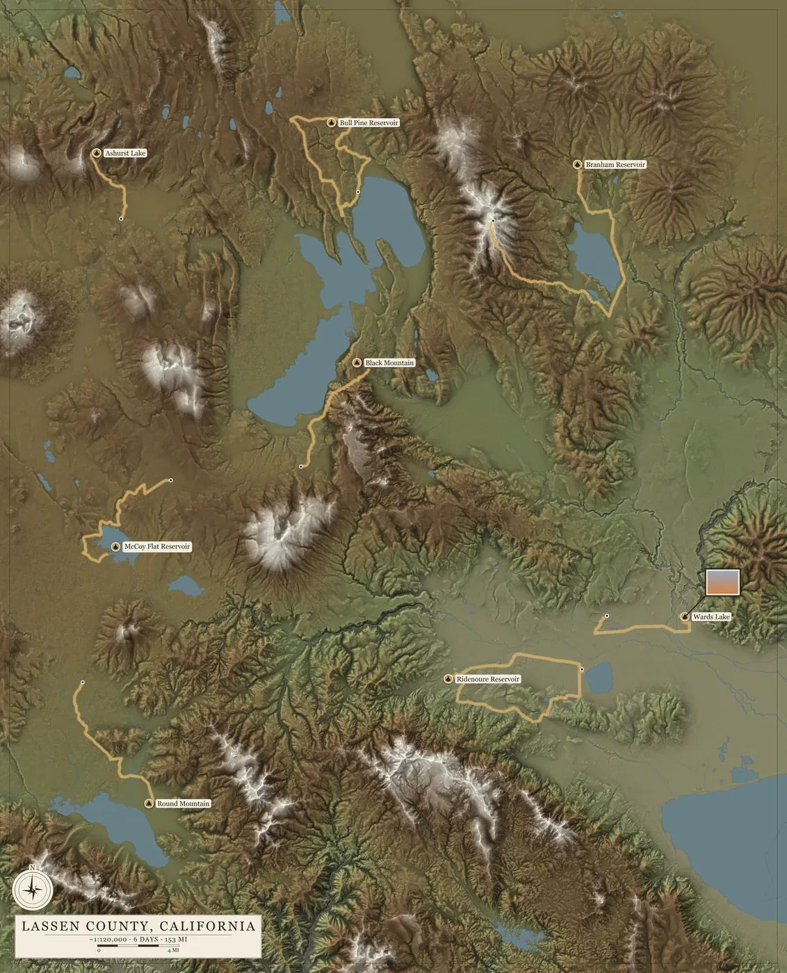
Posters I've made
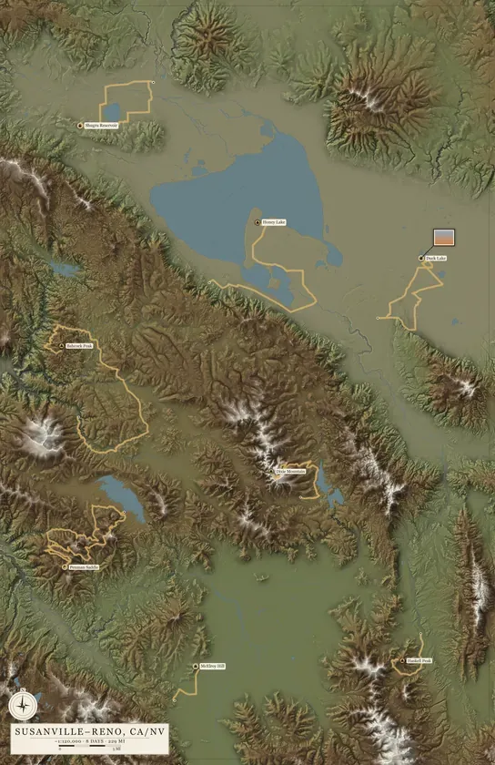
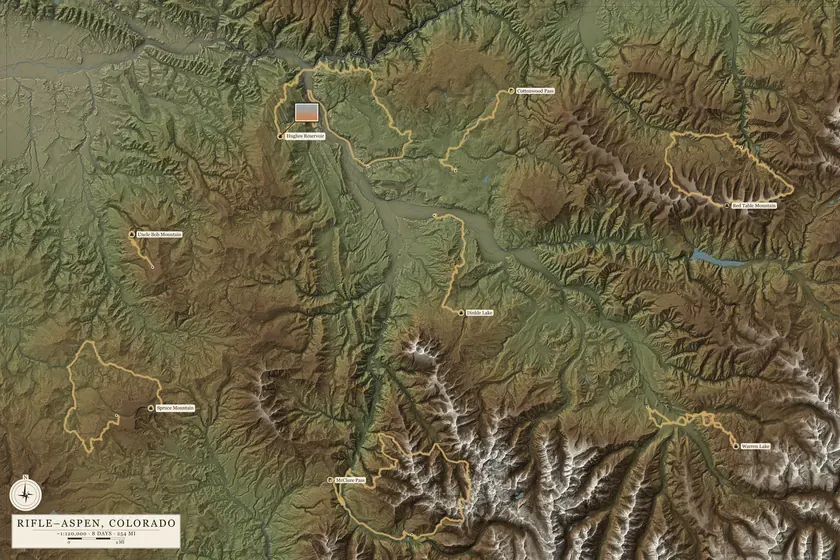
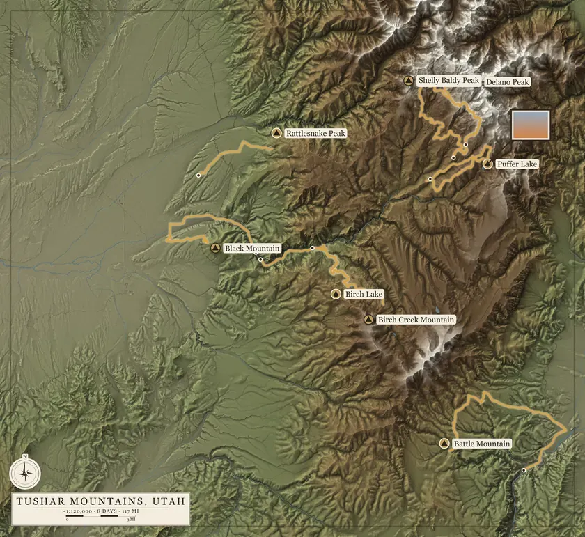
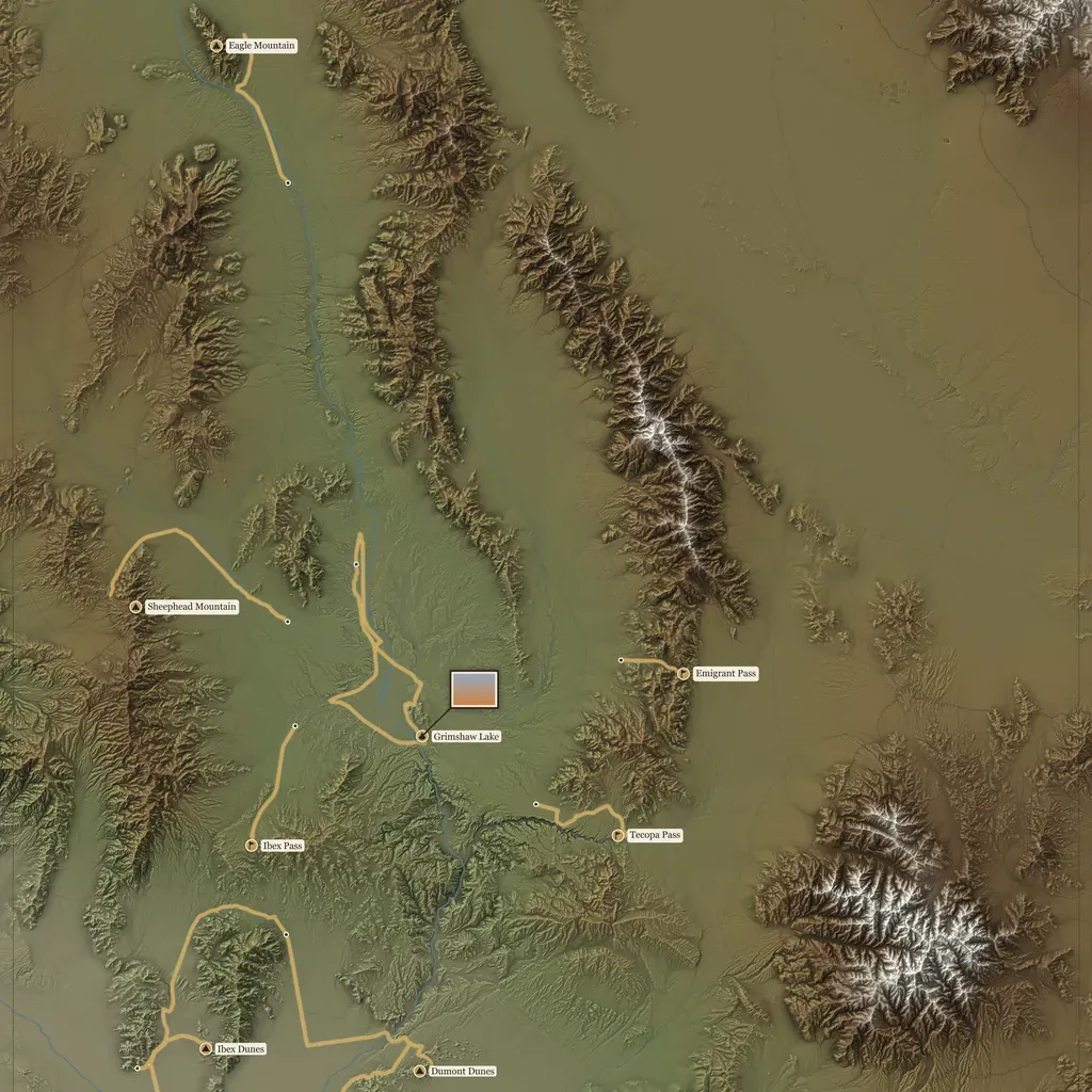
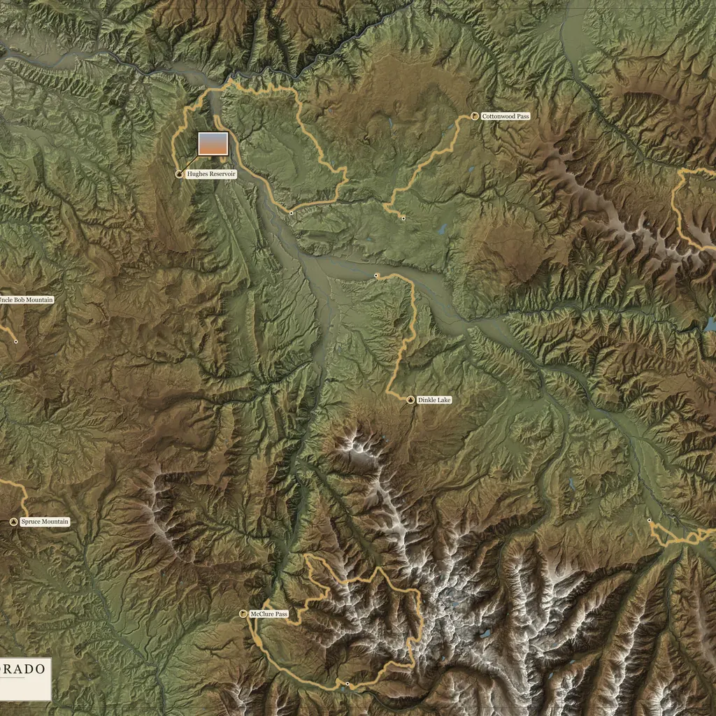
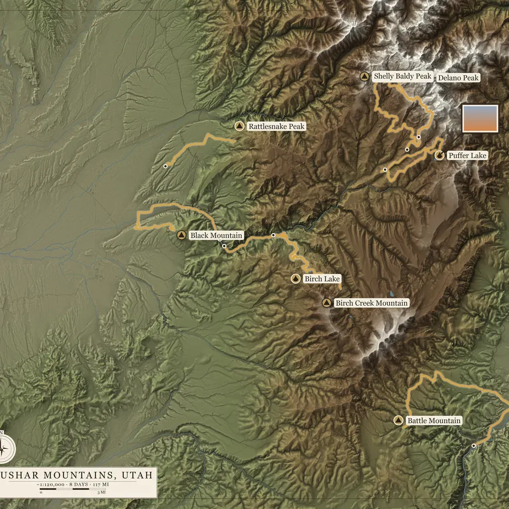
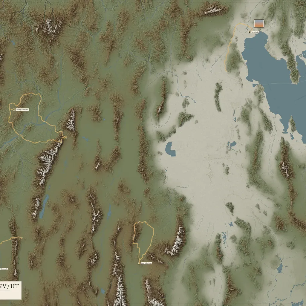
Every one is real country and real trips, lit so the mountains stand up off the paper.
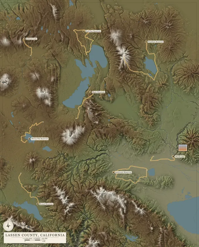
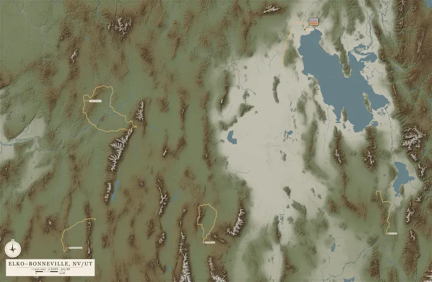
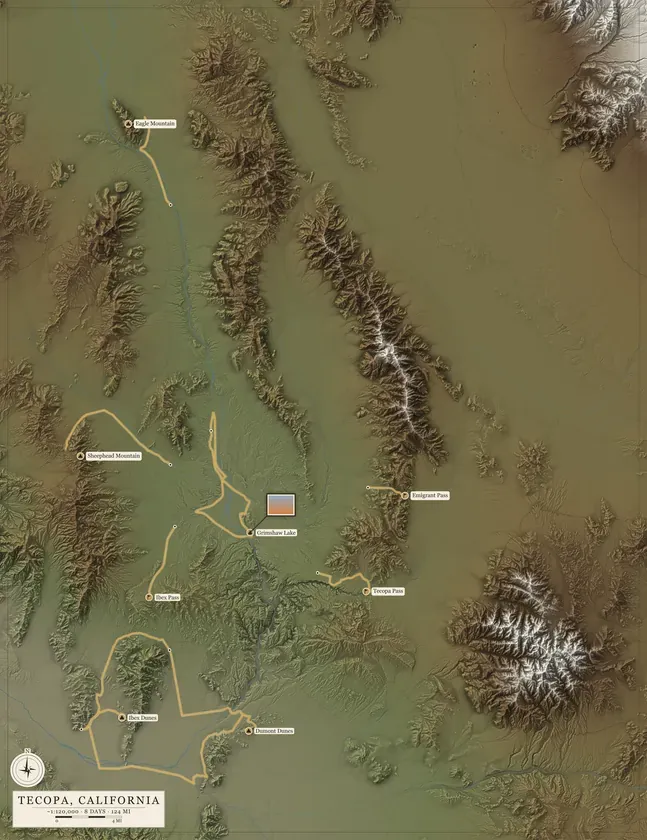
Up close
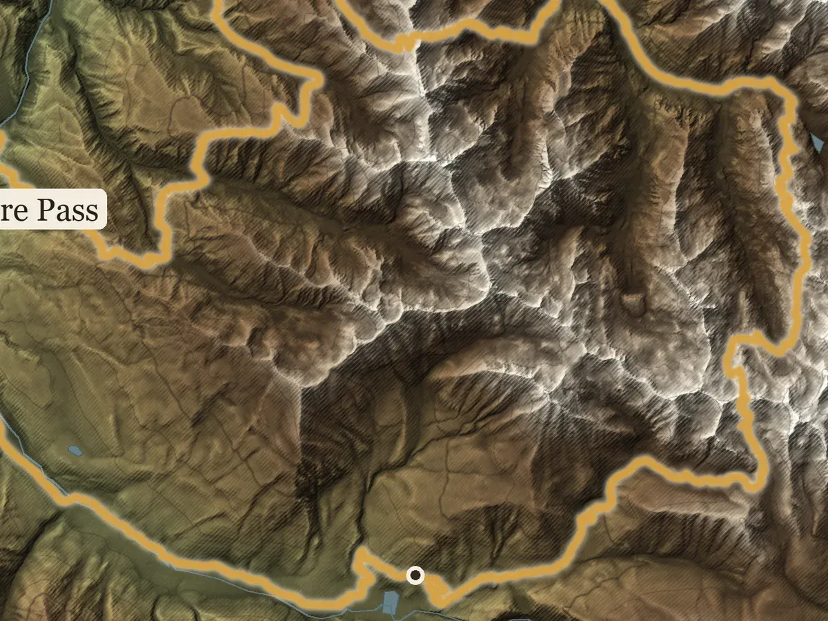
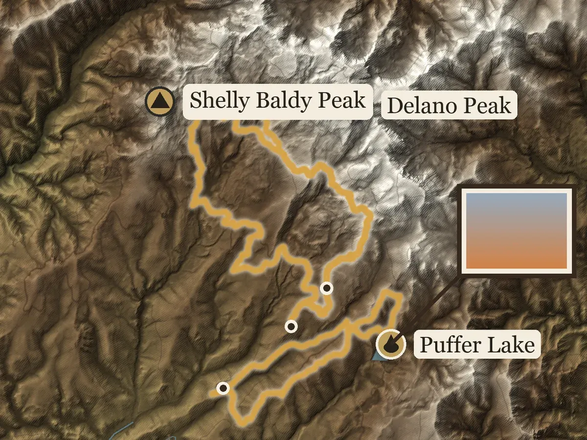
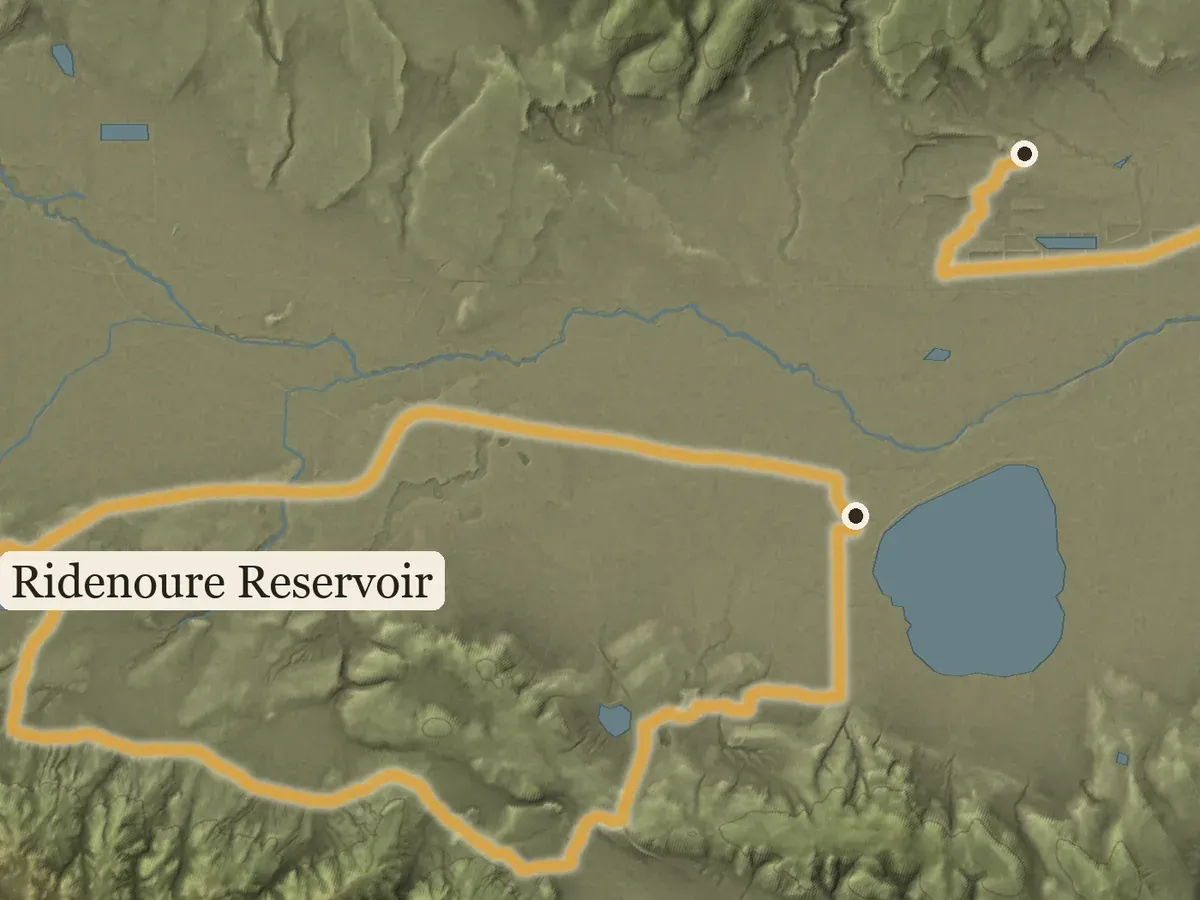
Every ridge throws its shadow. Every creek finds its way down. Your trips run through it all in gold.
See the relief
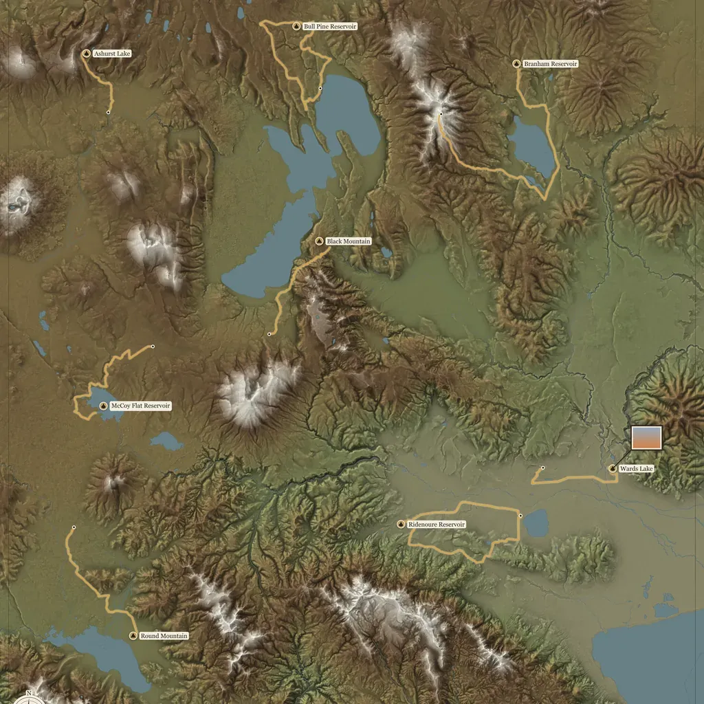
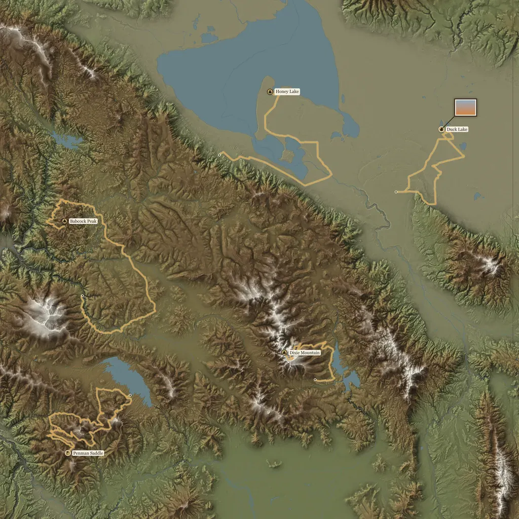
Six pieces of country, raised so you can see the land rise and fall. Drag one to turn it in the light.
Watch a poster come together
Each trip on the Lassen County poster draws in, one after another.
How it works
- Send your trips
Email me your tracks from onX, Gaia or your watch, with any photos you want on the map. Here's what to send. - See your poster
I make your map and send you a proof before anything prints. The proof and one round of changes are free. - Say yes
Nothing prints until you say yes. Then it's printed and on its way to your wall.
Prices
Your first poster
| Size | Price |
|---|---|
| Print, 11×17plus $8 shipping | $69 |
| Print, 17×22plus $12 shipping | $99 |
| Digital posterfor your screens, no print | $39 |
Next year
| Size | Price |
|---|---|
| Print, 11×17 | $59 |
| Print, 17×22 | $69 |
| Digital poster | $25 |
You pay after you've seen your poster and said yes. Build your poster
Add next year's trips
The list isn't finished, and the map doesn't have to be. Send next season's tracks and they join this year's, on the same ground.
Questions
How do I get my tracks out of onX or Gaia?
Both apps let you export GPX in bulk from their websites. If a menu has moved or you get stuck, email me and I'll walk you through it.
Will it look this good on my wall?
You see the exact poster before it prints, at full size, with your tracks and photos on it. If something's off, I fix it. Nothing prints until you say yes.
What happens after I email my tracks?
I build the map around your ground and send you a proof. One round of changes is free. Say yes and I send an invoice; if you want more rounds first, the invoice comes before them. Your tracks and photos go to one place: the person who makes your poster.
How long does it take?
From December to April, your proof comes by email and your poster ships on a Tuesday or Friday. From May to November I'm on a wildland fire crew and out of reach for two to three weeks at a time. Your proof comes when I'm back between assignments, and I can't promise a date.
Where can you map?
Anywhere in the lower 48. Alaska and Hawaii are coming later.
Can I make my own?
Yes. The program that draws these is free, and it's on GitHub. Most people have me do it.